

Silent Guardians: The Role of Fixed-Wing Drones in Environmental Conservation
- marcel3875
- Dec 9
- 3 min read
A new standard for monitoring without disturbance.
In ecology and environmental monitoring, the 'observer effect' is a well-known dilemma: how do we study nature without influencing it? Traditional methods, such as foot patrols, helicopters, or noisy multi-rotor drones, often disrupt the very ecosystems they aim to protect.
However, a shift is underway towards specialized fixed-wing UAVs (Unmanned Aerial Vehicles), such as our DW-10. These platforms offer a unique aerodynamic profile that distinguishes them from standard quadcopters: the ability to operate quietly, for extended periods, and at high altitudes. This makes them indispensable tools for wildlife tracking, erosion management, and flood analysis.
Invisible Observers: Wildlife Tracking
One of the most critical applications for platforms like the DW-10 is faunal counting and monitoring. Unlike multi-rotors, which require continuous motor power to stay airborne and produce an intrusive buzzing noise, fixed-wing drones glide on the wind.
• Acoustic Stealth: At cruising altitude, an electric fixed-wing drone is virtually inaudible to animals on the ground. This allows ecologists to observe shy species, such as nesting birds or herds of deer, without triggering a flight response or causing stress.
• Thermal Detection: Equipped with modular payloads, such as thermal cameras, the DW-10 can be efficiently deployed for anti-poaching missions. The drone can patrol for hours, detecting heat sources (animals or poachers) even through dense canopy cover, without revealing its position.
Erosion Monitoring: The Big Picture
Coastlines, riverbanks, and dune areas are in a constant state of flux. Monitoring these changes requires consistent data over large surface areas—a task perfectly suited to the endurance of a fixed-wing system.
• Scale and Efficiency: Where a quadcopter is often limited to a few dozen hectares per flight, a system like the DW-10 can map up to 1,000 hectares in a single mission. This is crucial for monitoring long stretches of coastline or river deltas.
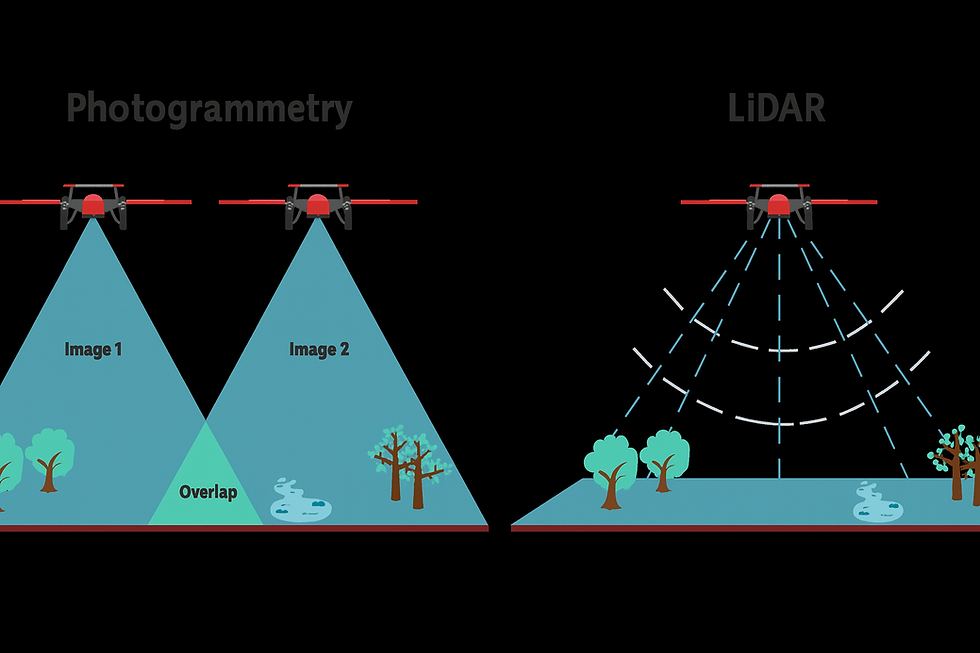
• Volumetric Analysis: By repeatedly flying the exact same flight paths, "temporal orthomosaics" can be generated. Software overlays these maps to calculate, with centimeter precision, exactly how much sand or soil has been displaced. This enables water boards and authorities to intervene proactively before critical infrastructure is threatened.
Flood Assessment: Rapid Response and Data
During floods, time is the most critical factor. Satellite imagery is often unavailable due to cloud cover, and manned aircraft are expensive and not always immediately deployable.
• Rapid Deployment: A lightweight fixed-wing drone can be launched within minutes, often via a simple hand launch or catapult.
• Hydrological Modeling: The drone provides not only visual imagery of the flooding but also generates Digital Elevation Models (DEMs). Hydrologists use this data to predict water flow and run simulations for future scenarios. Because the drone can cover large distances (BVLOS - Beyond Visual Line of Sight), hard-to-reach areas can be mapped safely.
Why Fixed-Wing?
While multi-rotors have their use for vertical inspections, the fixed-wing form factor is superior for environmental applications at scale.
1. Silence
Minimal disturbance to wildlife.
2. Endurance
Flight times of 55 to 90 minutes make it possible to scan entire nature reserves in one go.
3. Safety
With a construction of lightweight EPP foam (as seen in the DW-10), the risk during a potential landing in sensitive areas is minimal.
The integration of drones like the Dutch Wing DW-10 into the environmental sector marks a transition from reactive observation to proactive nature management. They prove that sometimes, the best way to protect the earth is to watch over it, silently, from the sky.


Comments