


DW-10
What is DW-10?

Advanced UAV Technology
Light and safe
Our drone weighs only about 1.5 kg including camera and battery. This low take‑off weight makes flights possible under many regulatory frameworks, including BVLOS flights (Beyond Visual Line of Sight) and operations over people, because the impact energy is limited.
Versatile sensors
DW-10 is compatible with various interchangeable cameras. Customers can choose from RGB, multispectral, thermal and 3D cameras.
Accurate without ground control points
With RTK/PPK (real‑time and post‑processing kinematic) the DW-10 achieves absolute accuracy of up to 1.5 cm and ground control points (GCPs) are often unnecessary. This speeds up field work and reduces personnel costs.
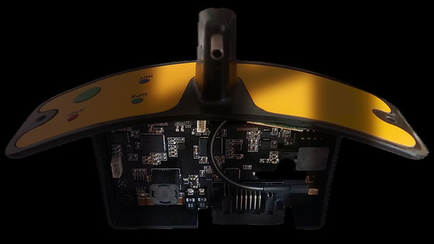
Ease of use and workflow
DW-10 is launched with a sling‑shot and lands automatically with a parachute. With the supplied software you can easily draw the area to be surveyed; the software generates the flight path and provides the fail‑safe protocols and air traffic information. Beginners can operate the drone after a brief instruction; automation limits pilot input and enables one‑person operations. The collected images are compatible with popular photogrammetry packages (Pix4D, Agisoft Metashape, DroneDeploy, Trimble Business Center).
Reliability and support
The modular design makes maintenance simple and there is a European service and dealer network for parts and support.
The DW-10 is a powerful tool for collecting aerial data with high precision while keeping costs and time on site low. Thanks to the combination of long flight endurance, large coverage, centimetre‑level accuracy without GCPs and versatile sensors, one operator can carry out extensive projects that would otherwise require multiple quadcopters or manned flights. The light, robust design and approved regulations make it easier to obtain permits for complex missions (BVLOS, flights over people). Finally, the automation in our software provides a simple, repeatable workflow that allows both experienced and beginning pilots to be deployed quickly.
DW-10
